This one was 2.3 miles, with lots of wet spots (duh), elevation changes, and overlapping with other trails. We saw a fox run across the trail near the end, and bear poop (more on that).
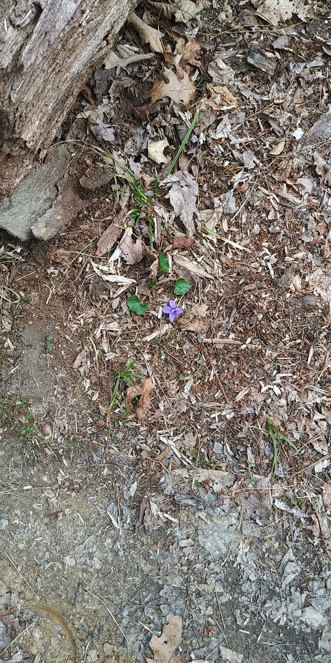
I don’t know anything about flowers, but this one at the start of the trail was very noticeable. Later on, I found a ton of them, so it wasn’t so special after all.
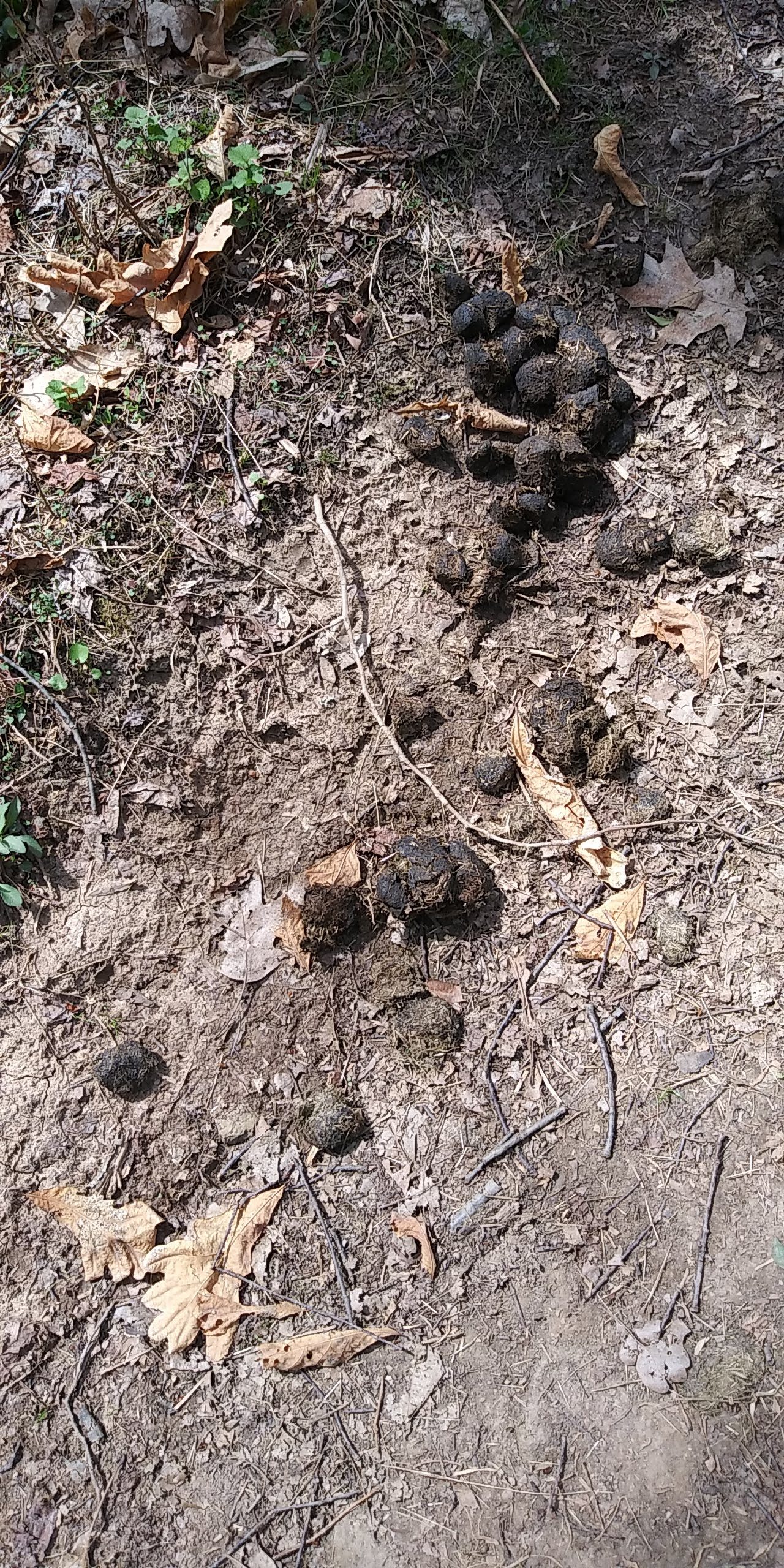
Some hikers coming the opposite way said they saw bear poop a little ways and decided to turn around. One of them mentioned black bears being spotted in the area. I didn’t care so much (I know what to do when confronted), so we pressed on and found these little gifts. There were 2 or 3 more piles we found farther down:
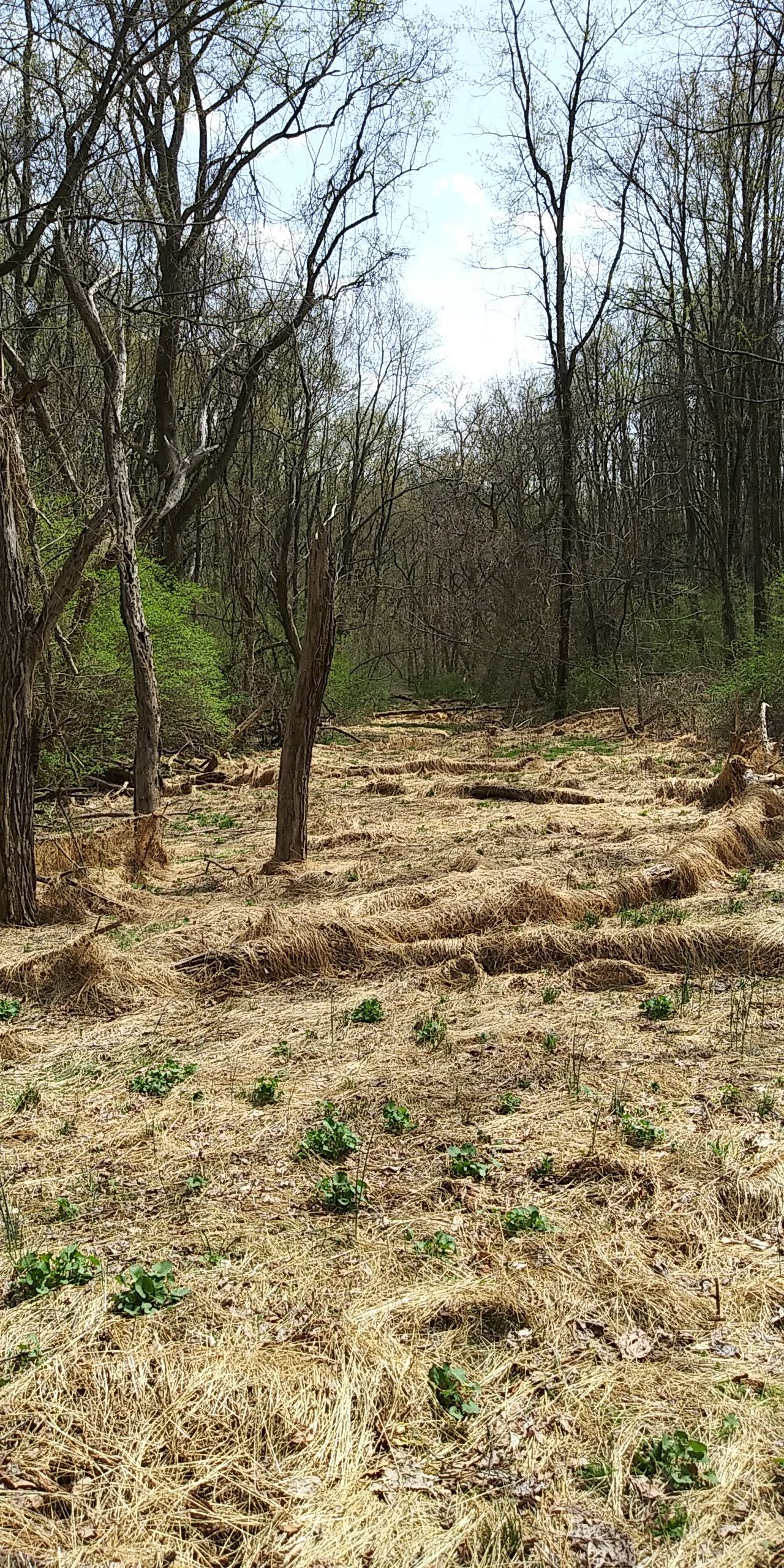
The trail looped around this strange clearing with what looked like a lot of dead grass:
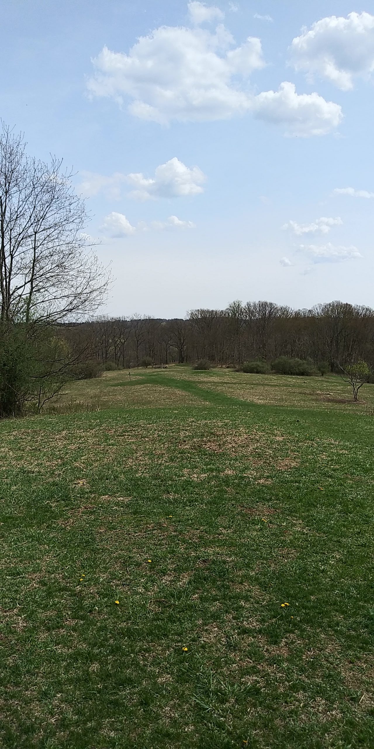
At one point the trail opened up into a hilly meadow, for maybe 100 feet. Slightly off a ways was a bench on the highest point:
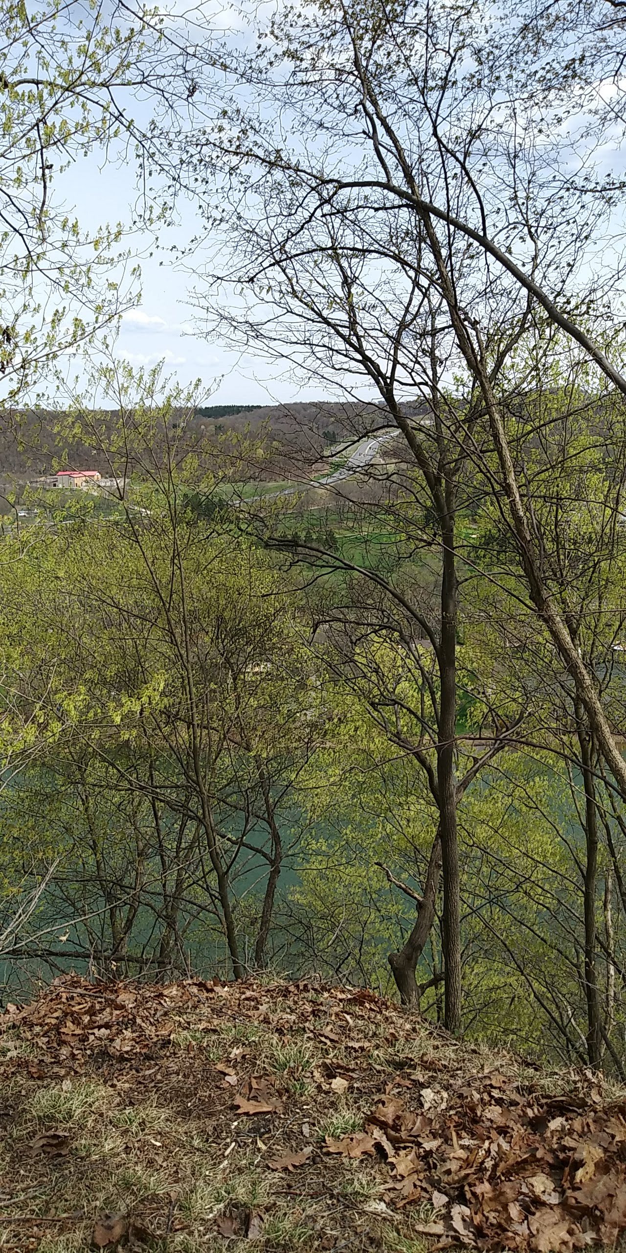
Here’s a boring photo (better one below) of the highest section of the trail, facing east/northeast, right at the Allegheny River. The roadway you see, Route 356, is just over the Donald R. Lobaugh Bridge, colloquially known as the Freeport Bridge:
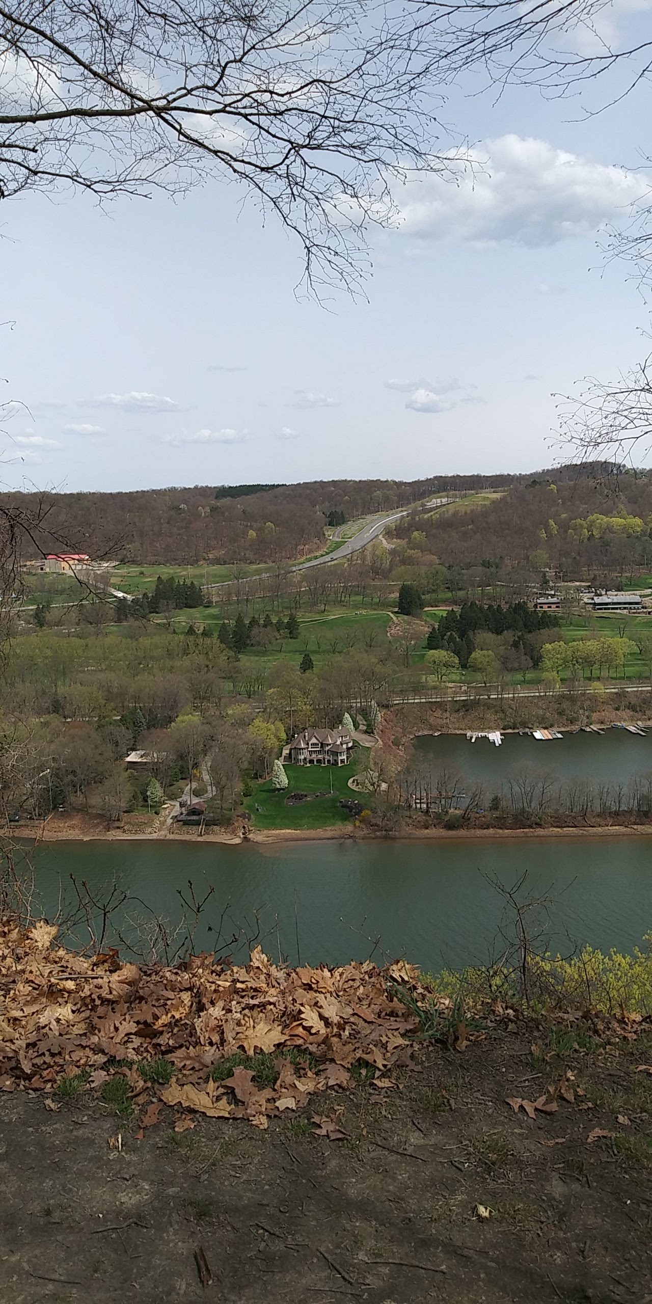
The better view. Mind you, that section of ground at the bottom of the hill is basically a cliff. There were plenty of warning signs, but knowing there’s a painful drop down to the riverside gave me the creeps, and I wasn’t that close to the edge. The grassy part in the middle is the River Forest Country Club. I had thought the very expensive-looking gray house in the middle was part of the club, but it’s residential. I tried looking up what the red-roofed building was, but couldn’t find any info on it:
I’d like to get a good shot of the Freeport Bridge, from another trail. Maybe next time.
3 Comments
Judging by the looks of that country castle, I bet unicorns serve tea and crumpets there.
No doubt, Graham. According to Google Earth, Jay, the red topped building (2172 PA-356, Freeport) is for sale, but that’s probably a couple of years ago. The Duck tells me it’s a commercial building with cold storage space, formerly used as a warehouse. It named a couple of people with keys to the property. If you looked through commercial real estate listings you could probably find out a lot more. It also indicates that you were on the Rachel Carson Trail at that point. And unlike you, I don’t get the willies from standing close to cliffs and such, partly because of my military training. Went through a course that included rappelling.
The Wetlands trail overlaps the Rachel Carson trail a little, and that one spot was one of the points. There’s also a 3rd trail that does so.
Good job on hunting that building down. More dedication than I.
1 Trackback or Pingback