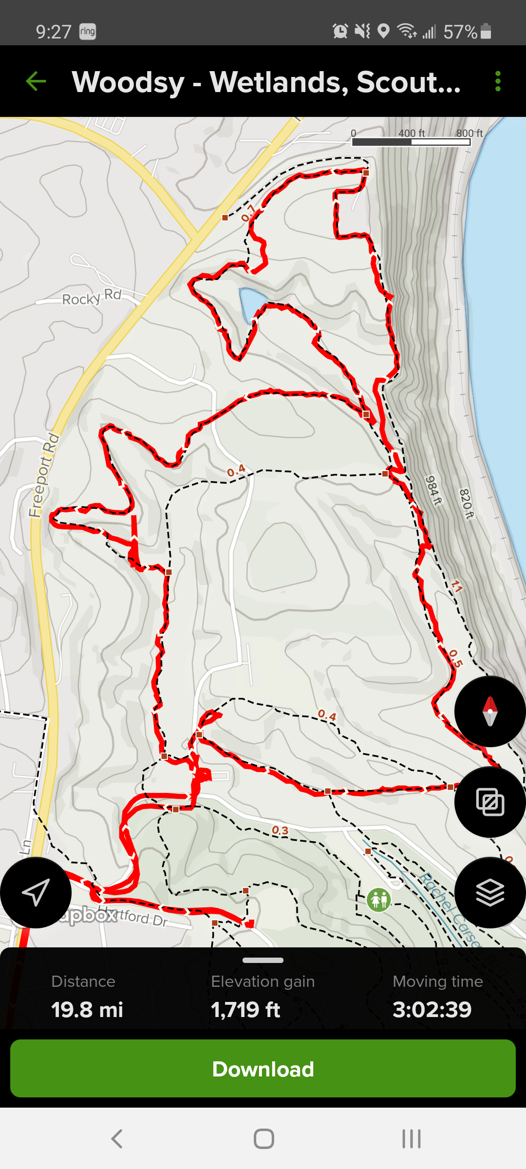
Alltrails mapped this nice hike out for us, a combination of three connected trails at Harrison Hills. Here’s the map. No, we didn’t walk 19.8 miles. I was a dum-dum and started tracking our progress from when I left the house. The real trail length was nearly four miles.
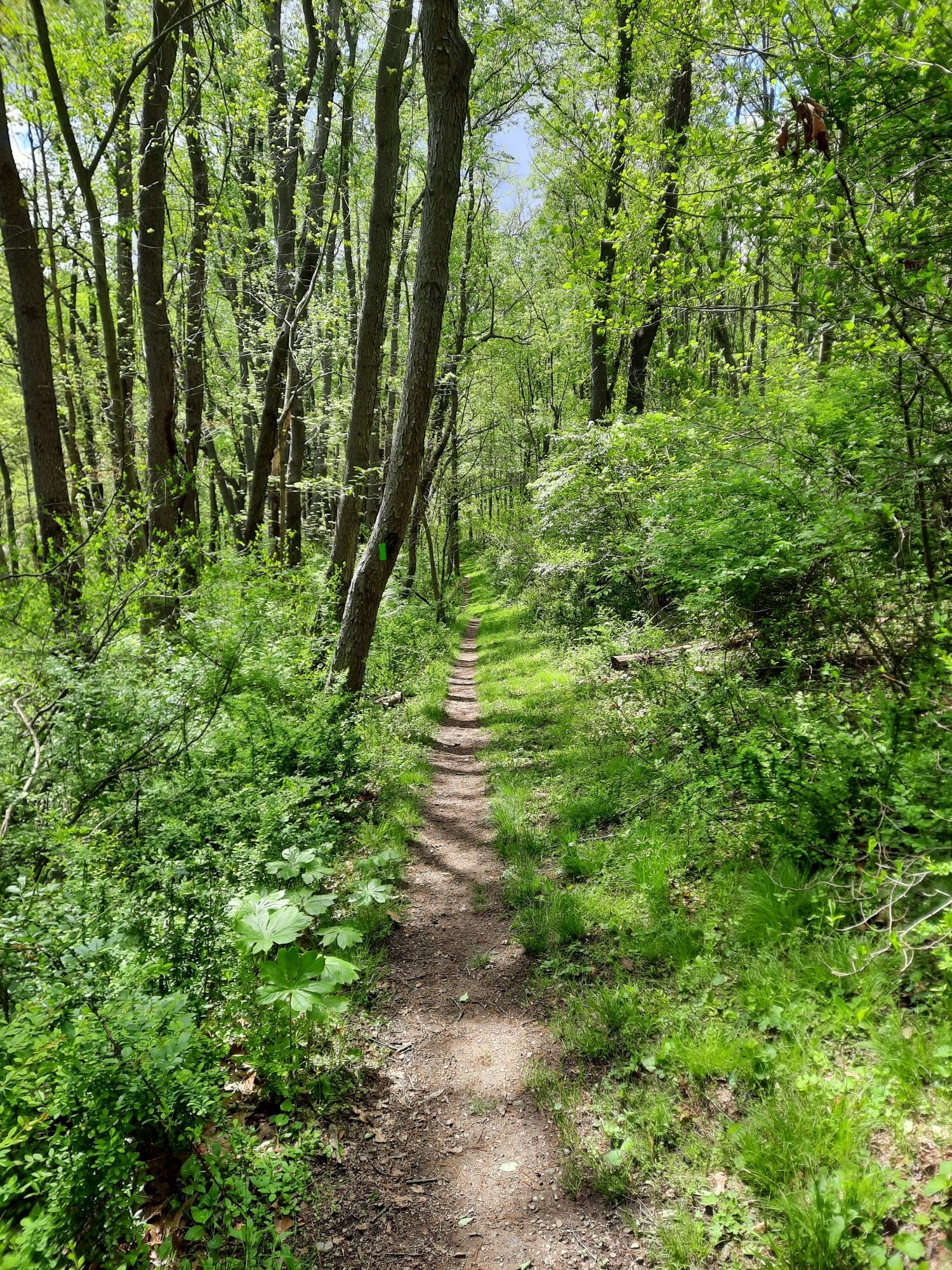
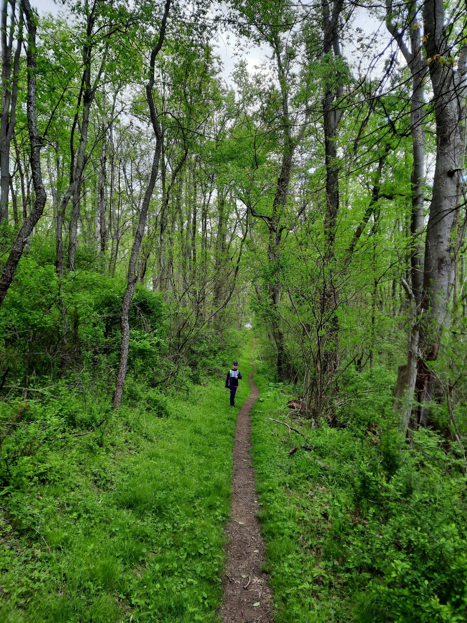
These first three are some long straight stretches at the beginning of the trail. That’s Son of Jay in the second photo:
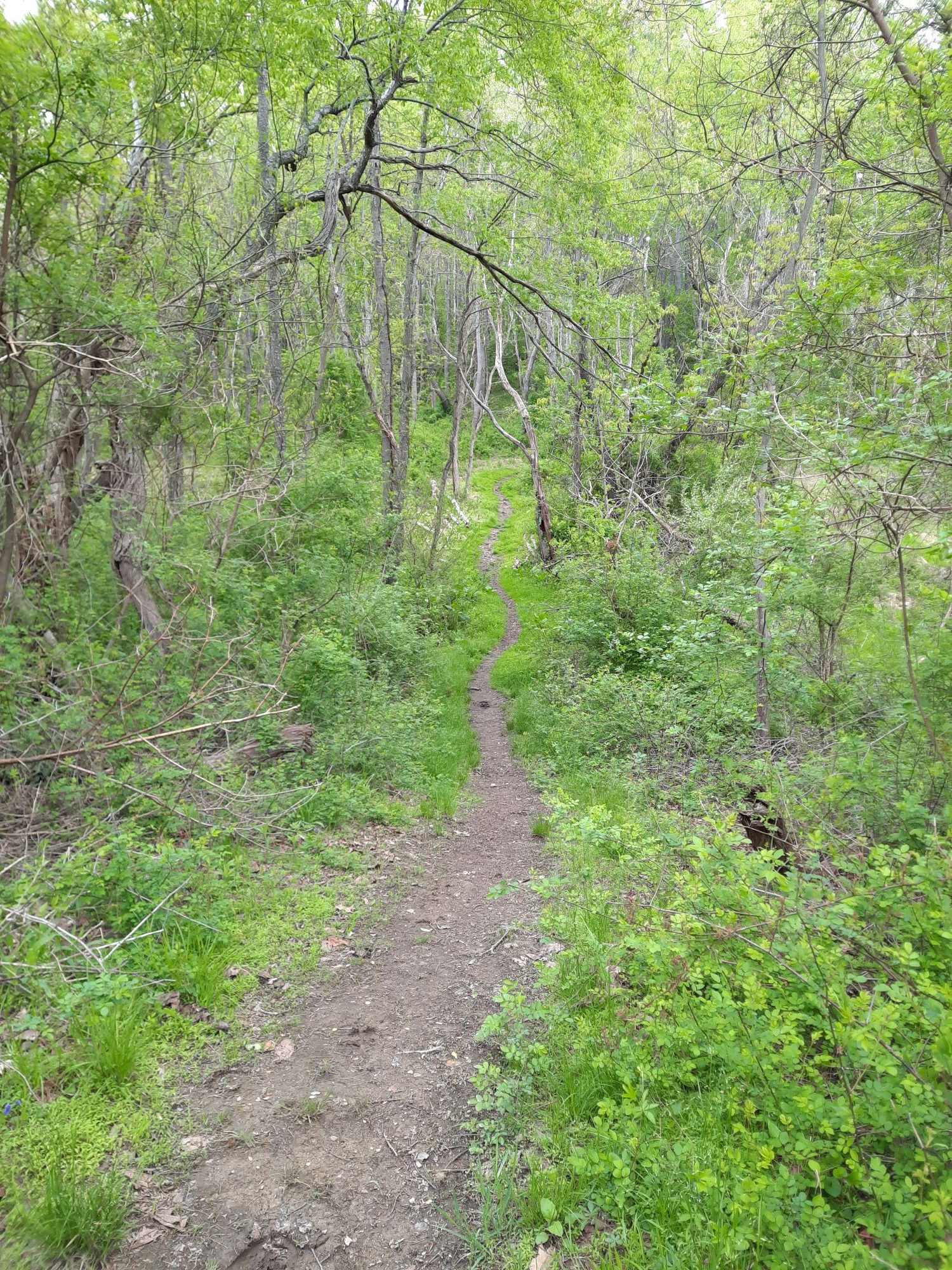
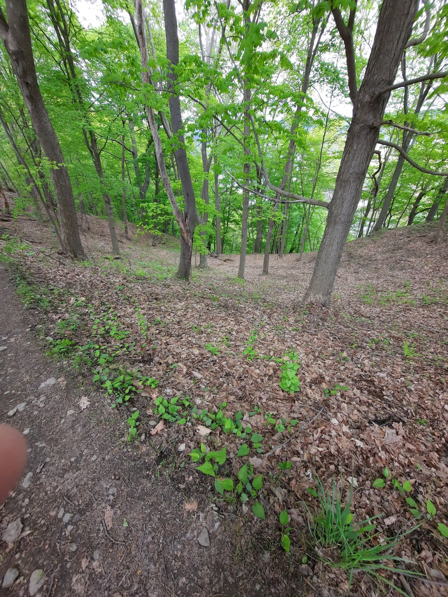
Hard to tell here, but this is a moderately steep but very long slide down the side of one part of the trail. Enjoy my finger in the bottom left:
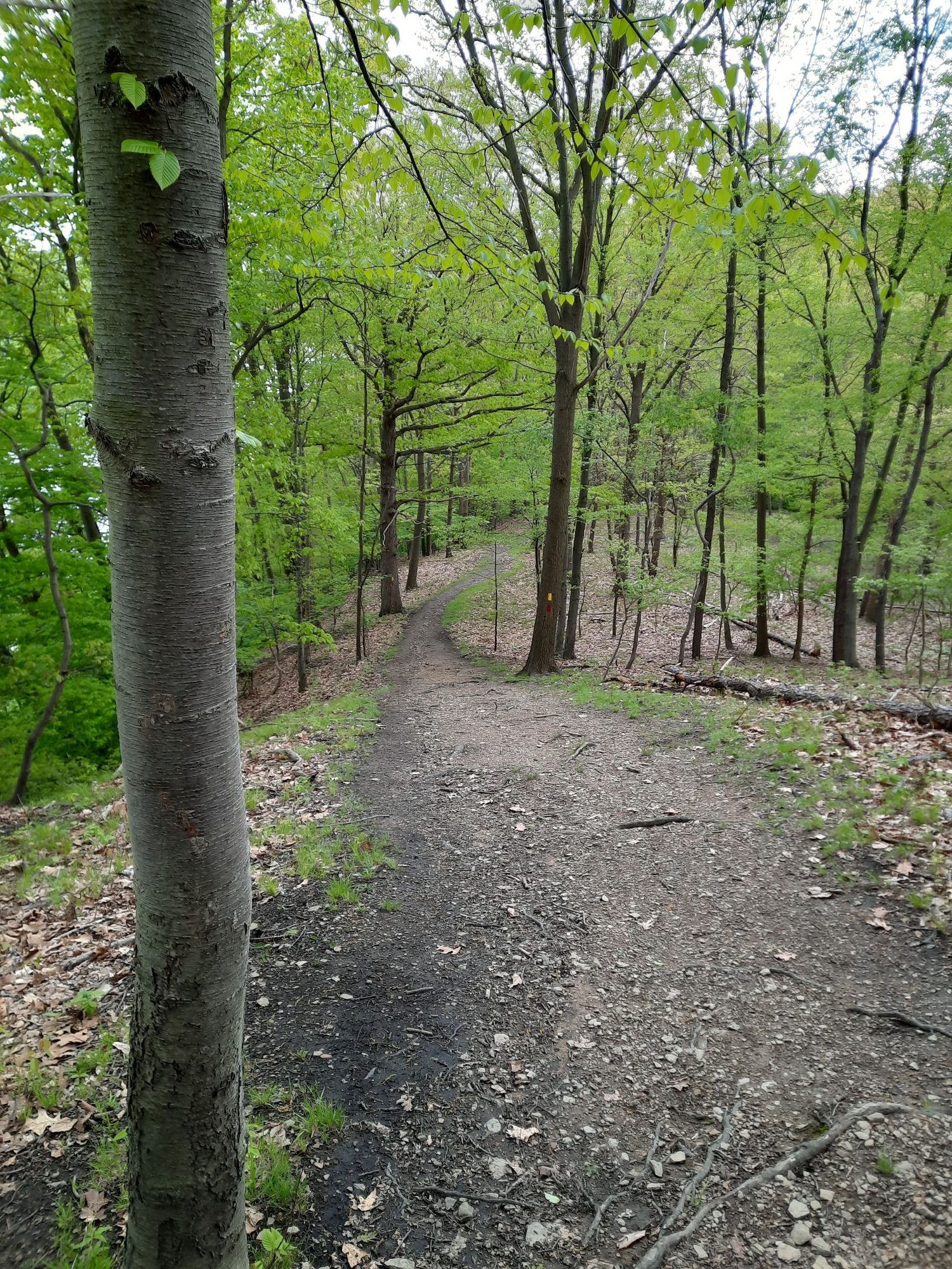
At the top of one of the steeper hills. There were a lot tree roots crossing over the path, which made the walk a little easier, as they formed a little staircase. On the map, this was in the northeast corner, on the Rachel Carson portion of the hike, right on the border of the hill next to the Allegheny River:
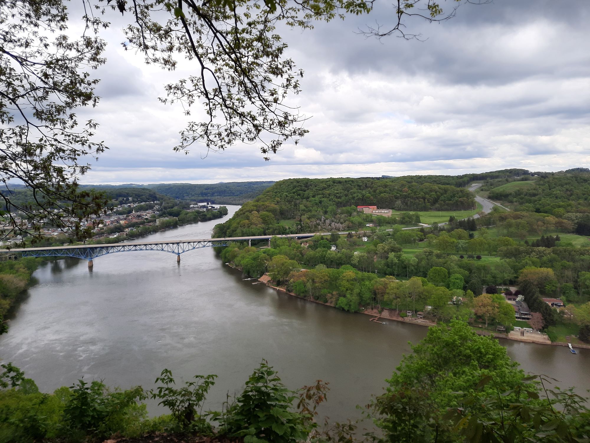
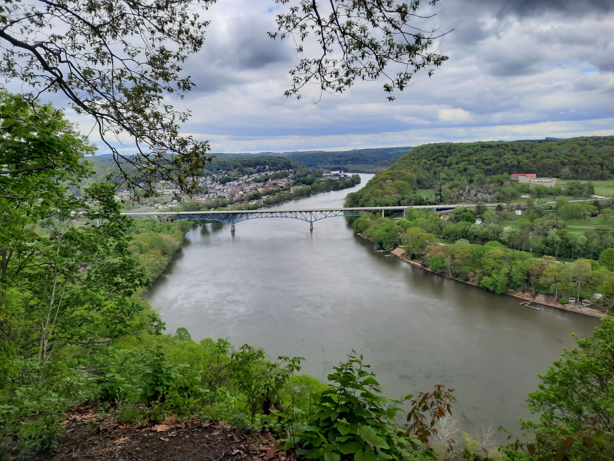
Two good shots of the Freeport Bridge, which connects the Buffalo/Freeport townships to Allegheny Township. The official bridge name is the Donald L. Lobaugh bridge, named after a WWII vet from the area. His platoon was ambushed and pinned down by a machine gun placement. He took some hits while charging the gun, out from the platoon’s cover:
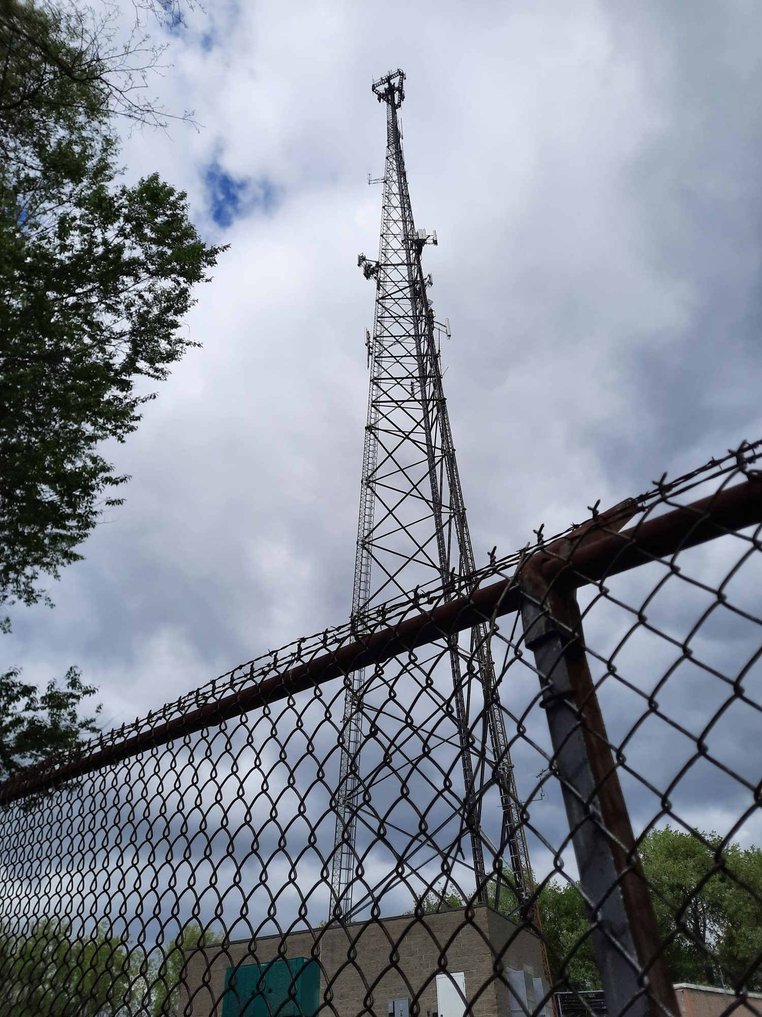
Not a natural formation. a small section of the park was fenced in private property for this tower. You can see the trail traced a little squarish part on the perimeter of the fence, at the top part of the map:
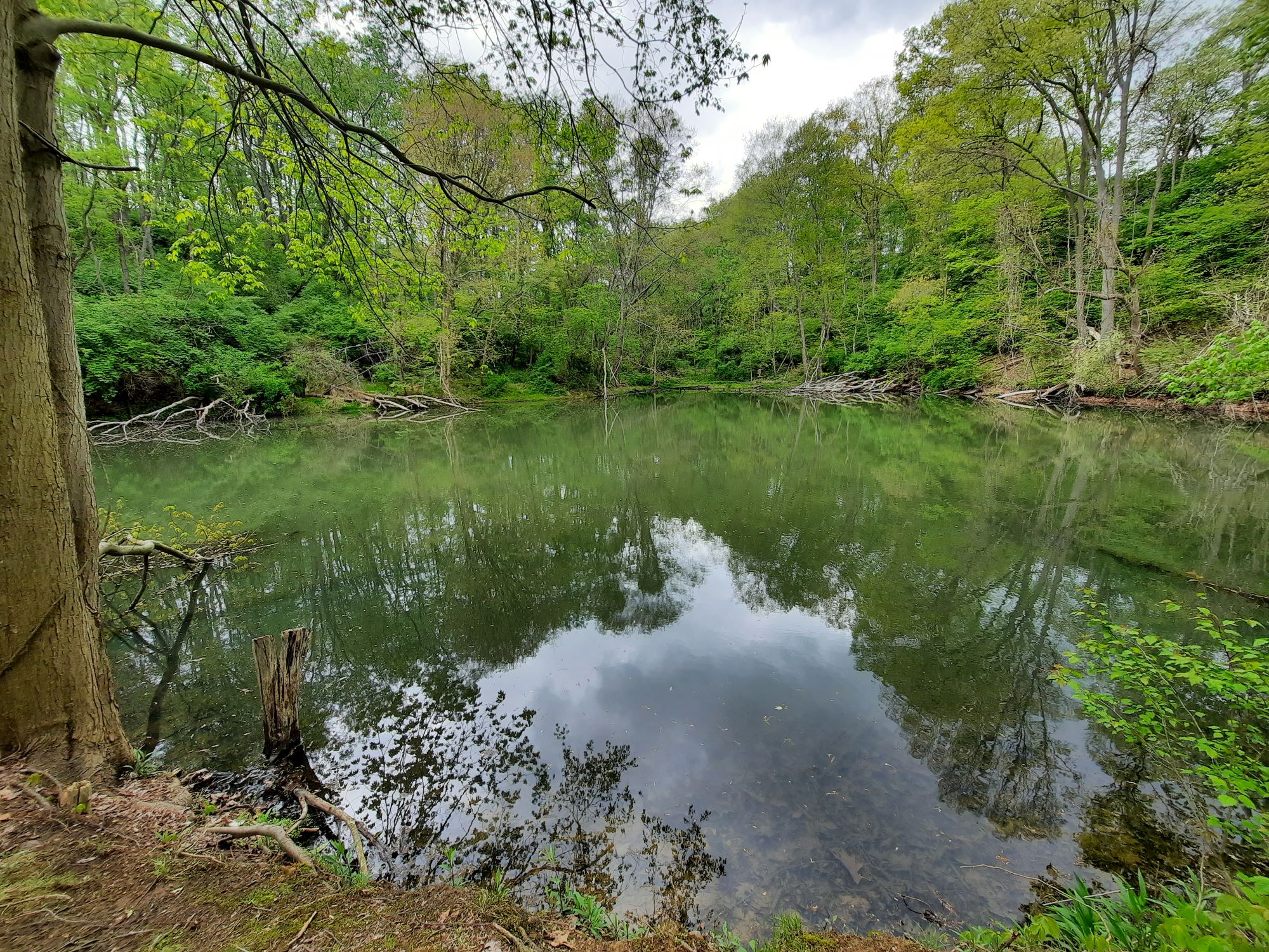
The small pond on the northern part of the map, as we headed south:
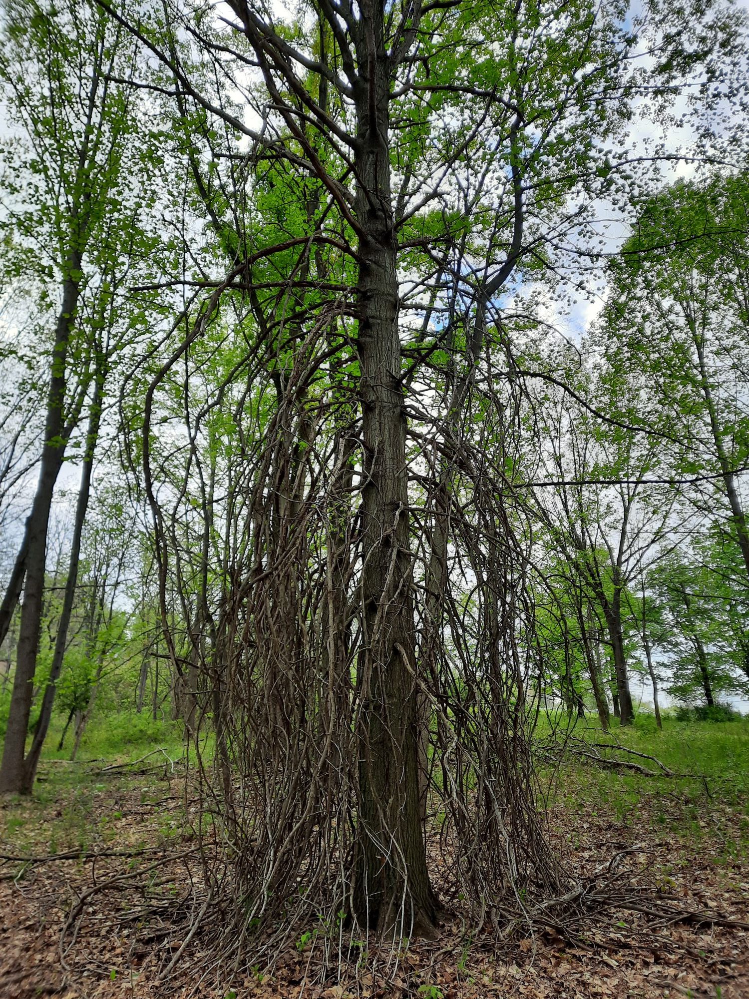
Near the end. I saw this before, when we did the Wetlands hike. A rather unfortunate looking fellow, but it doesn’t seem dead:
3 Comments
Your bridge shots do an excellent job of showing the terrain.
Thanks. One of the good things about living in a hilly area. 🙂
Also, I noticed some of the text referenced the wrong photos in the post, though most people could probably discern my disorganization correctly. It’s fixed, either way.
1 Trackback or Pingback